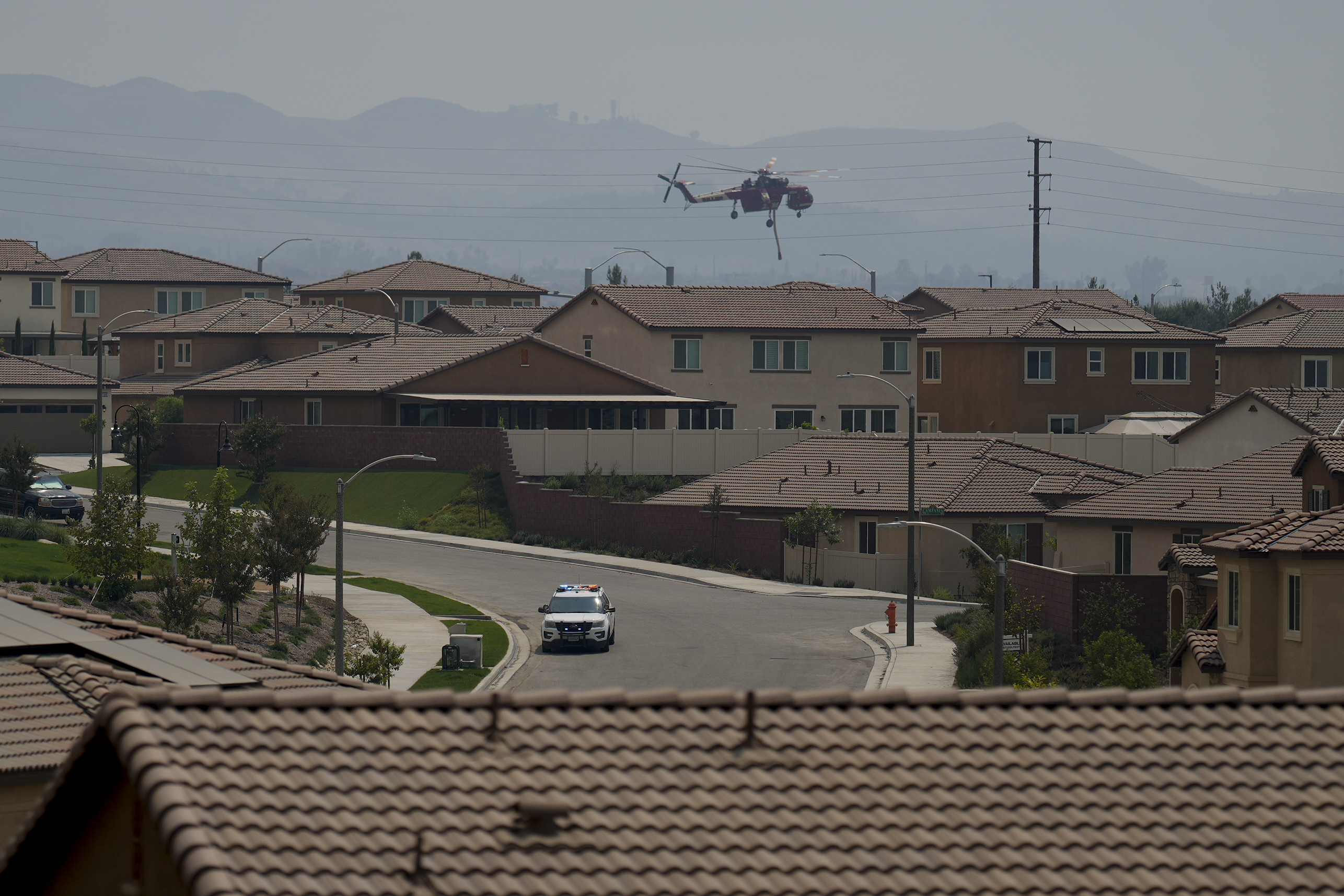
This week, the Line Fire in California has escalated quickly, endangering thousands of homes.
The blaze ignited on Thursday and has since spread to approximately 27 square miles of grass and bushland near the San Bernardino National Forest, with over 600 firefighters working tirelessly to contain it as of Sunday morning.
Cal Fire, the state’s firefighting agency, reported that around 35,405 structures—ranging from single-family homes to commercial properties—are under threat. Fortunately, no buildings have been reported damaged or destroyed as of Sunday evening.
In response to the crisis, California Governor Gavin Newsom declared a state of emergency for San Bernardino County on Saturday, allowing for more resources and personnel to aid in firefighting efforts and facilitating federal support.
“I appreciate President [Joe] Biden for his quick approval of assistance for our brave firefighters and first responders,” the governor remarked. “It’s essential for residents in these areas to stay alert and be ready to evacuate if authorities issue a warning.”
Intense winds and dry conditions, exacerbated by a prolonged heatwave with temperatures soaring into the triple digits on Saturday, have intensified the fire’s spread. Forecasts predict temperatures will continue to hover between the upper 80s and around 100 degrees on Sunday.

AP Photo/Eric Thayer
Cal Fire also cautioned about potential thunderstorms in the area on Sunday, which could exacerbate the situation.
“Afternoon storms may spark new fires and affect the existing fire perimeter,” state firefighters warned, highlighting that the combination of heat, dryness, and thunderstorms will present ongoing challenges in the coming days.
A recent study in Nature emphasizes that climate change has heightened the risk of extreme wildfire growth in California by 25% in 2023.
The San Bernardino County Sheriff’s Department has issued evacuation orders for several zones:
- The section from Calle Del Rio to Hwy 38, including Greenspot Road North
- All undeveloped land east of Highway 330 to Summertrail Place, north of Highland Avenue
- Areas of Running Springs, east of Highway 330 and south of Highway 18
- The communities of Running Springs and Arrow Bear Lake
- From Orchard Road to Cloverhill, Highland Avenue north to the foothills
- North of Highland Avenue and east of Palm Avenue to Highway 330
Residents needing extra time to evacuate, along with those with pets and livestock, are urged to leave immediately from the following locations:
- From Boulder Avenue east to Church Street and Greenspot Road north to the foothills
- Church Street east to the city limit, from the foothills south to Greenspot Road
- Green Valley Lake, north of Highway 18
- The communities of Cedar Glen, Lake Arrowhead, Crestline, and Valley of Enchantment
- Angelus Oaks, Seven Oaks, and Mountain Home Village

AP Photo/Eric Thayer
