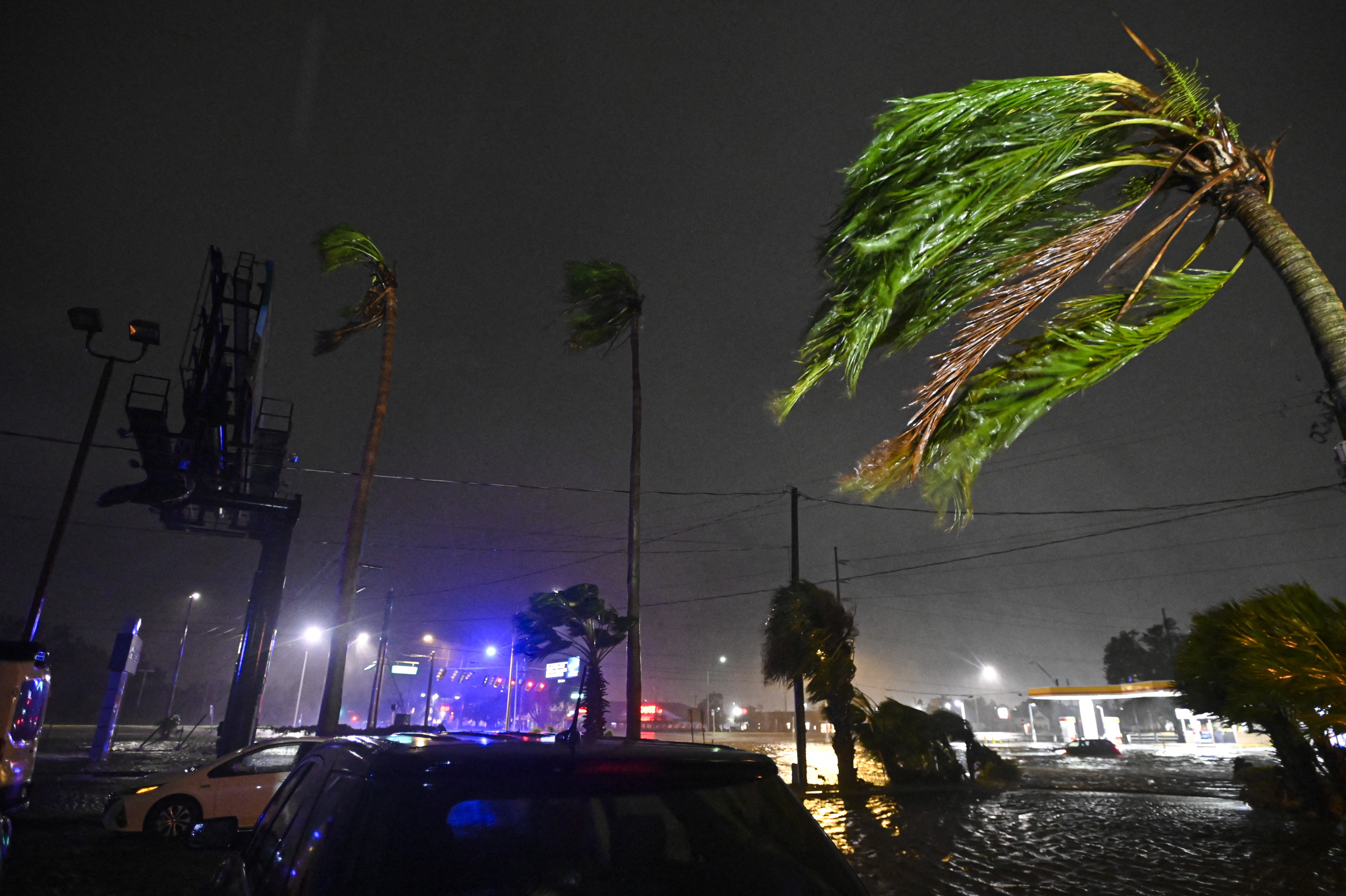
Hurricane Oscar has officially formed off the Bahamas, according to the National Hurricane Center (NHC). The storm is a concern for nearby areas, particularly the southeastern Bahamas, and is expected to bring hurricane conditions and a significant storm surge to the Turks and Caicos Islands, accompanied by heavy rainfall.
To prepare for the impending storm, the Bahamian government has issued a hurricane warning for the Turks and Caicos Islands and parts of the southeastern Bahamas. Additionally, Cuban officials have placed the provinces of Guantánamo, Holguín, and Las Tunas under a hurricane watch as Oscar approaches.
Oscar boasts maximum sustained winds of 80 mph, with even stronger gusts in certain areas. Its center is roughly 165 miles southeast of the Bahamas and about 470 miles east of Camagüey, Cuba, raising alarms for local communities.
Meanwhile, just hours before Oscar formed, Tropical Storm Nadine made its debut off the southern Caribbean coast of Mexico. This system has already caused heavy rainfall and stormy weather in parts of Belize and the Yucatán Peninsula.
A tropical storm warning is in effect for Belize City and the coastline extending from Belize to Cancún, including Cozumel. Nadine is only 20 miles east of Belize City, moving inland at 13 mph with maximum sustained winds of 50 mph.
The storm is expected to keep moving through Belize, northern Guatemala, and southern Mexico, raising worries about potential flooding and damage to infrastructure.

Concerns over tropical storm activity heightened last week in the U.S., especially since Florida had just faced the effects of Hurricanes Milton and Helene. Most models, however, suggest that AL95, a system brewing in the northwestern Caribbean, will likely move westward towards Central America or Mexico.
Some projections show it moving north toward Texas, a scenario considered unlikely due to disruptive winds along the Texas coast at this time of year.
Over the past week, meteorologists have been carefully monitoring developments in the Caribbean. Current weather patterns show widespread showers and thunderstorms across the northwestern Caribbean, associated with a broad low-pressure area north of eastern Honduras. Conditions seem favorable for further development over the next couple of days.
Regardless of any new formations, heavy rainfall is anticipated throughout Central America and southern Mexico this weekend. There’s a medium (50 percent) chance that a tropical depression or storm could emerge from this system in the next 48 hours, with ongoing monitoring planned for both storms in the days ahead.
