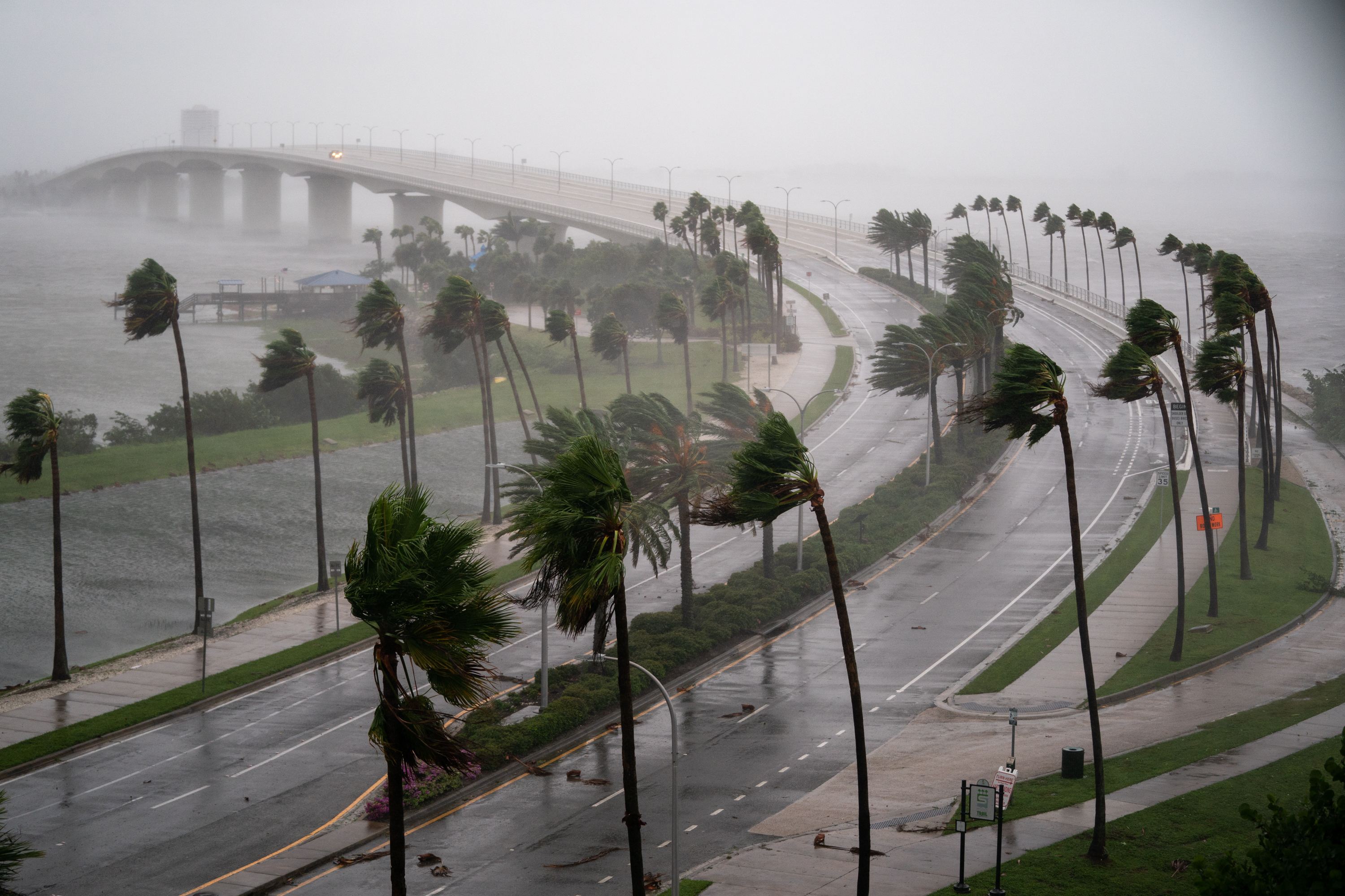
Hurricane Milton is on track to double in size before it reaches Florida’s western coast this Wednesday night.
As of late Tuesday morning, Milton was downgraded to a Category 4 hurricane with maximum sustained winds of 150 mph, just 7 mph shy of a Category 5, according to the latest update from the National Hurricane Center (NHC).
After achieving Category 5 status on Monday, the storm experienced a slight weakening but is showing signs of intensifying once again. It is forecasted to make landfall in the Tampa area by late Wednesday or early Thursday morning; however, specifics regarding wind speeds and the exact landfall location remain uncertain.
The NHC tweeted, “Hurricane #Milton Advisory 14: Milton Forecast to Retain Major Hurricane Status and Expand In Size While Approaching the West Coast of Florida” on Tuesday morning.
Weather expert Pearce explained that the hurricane is expected to undergo a shift just before reaching the coast, where it may weaken slightly but will expand in size.
This larger storm will impact a wider area, bringing damaging winds, storm surge, and heavy rainfall to regions far from the storm’s center. “The effects will reach broader areas than just where the storm directly hits,” Pearce mentioned.

Sean Rayford/Getty
Pearce also emphasized the importance of evacuating for those in designated zones, as residents still had Tuesday to prepare.
Milton is poised to be the first hurricane to strike the Tampa area directly in over a century. Social media is buzzing with images and videos showing highways and streets congested with residents trying to evacuate from the most affected areas.
The NHC warns that those in Milton’s path, especially along Florida’s western coast, will face a severe triple threat: destructive storm surge, dangerously high winds, and heavy rainfall. The storm surge could inundate areas with up to 10 feet or more of water, creating an “extremely life-threatening situation.” Residents in storm surge warning areas should evacuate promptly if advised by local officials, as there may not be enough time to leave once the storm approaches.
Furthermore, hurricane-force winds are projected to pose significant risks as they extend inland. The NHC stresses that preparations to safeguard life and property should be completed by Tuesday night, especially considering the possibility of prolonged power outages.
