Next week, a notable weather change is headed for parts of Utah and Wyoming, according to meteorologists at the National Weather Service (NWS).
Salt Lake City and its surrounding areas have enjoyed an unusually warm and dry October, but a cold front is set to reverse these conditions. Temperatures in some spots may plummet to the 40s.
The NWS office in Salt Lake City shared an update on X, formerly known as Twitter, stating, “Warm and dry conditions return this weekend before a dramatic pattern shift next week.” They expect a storm to roll in early next week, bringing cooler temperatures along with rain for the valleys and snow for the mountains. More details are expected soon.

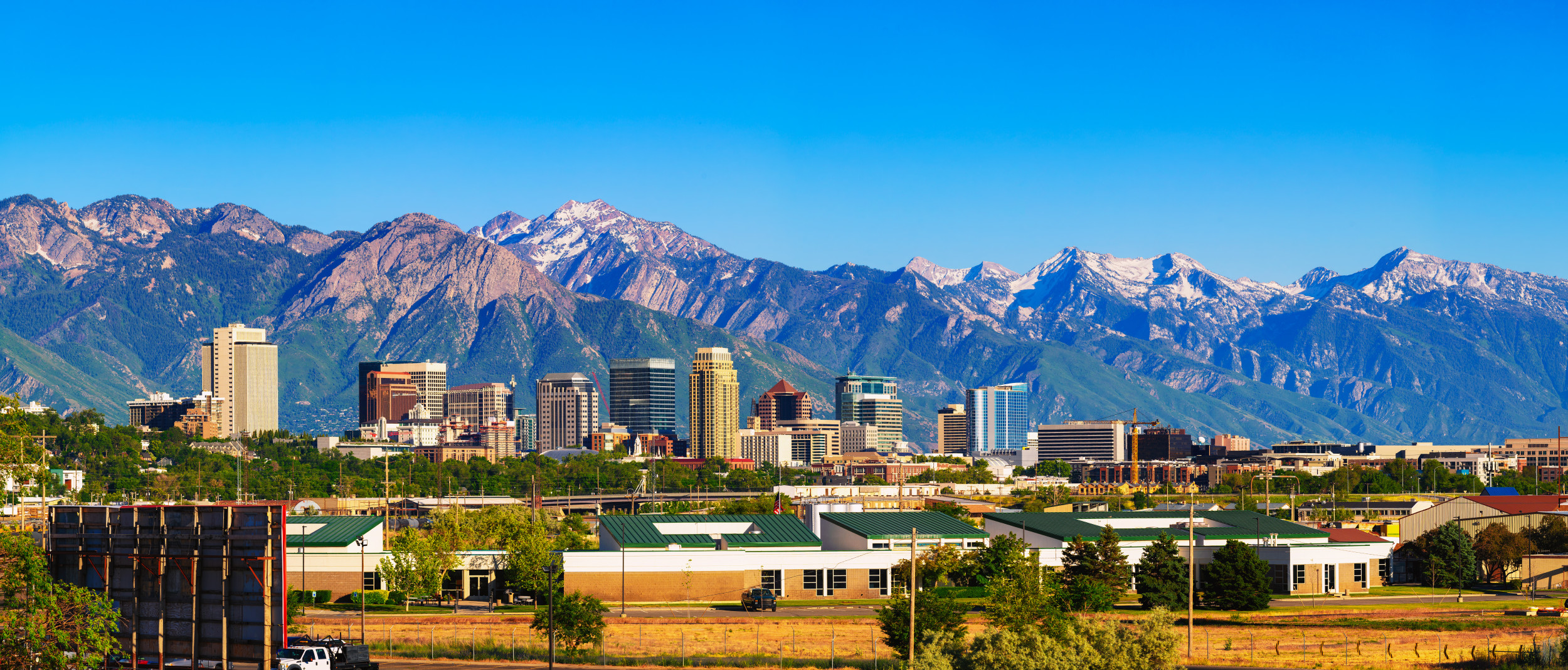
miroslav_1/Getty
This forecast affects parts of Utah and southwest Wyoming.
On Thursday, Salt Lake City saw a drop in temperatures, registering highs 20 degrees cooler than the previous day’s record of 78 degrees. They will rise again over the weekend into the low to mid-70s, just before the cold front arrives late Monday into Tuesday. Meteorologist Mahan noted, “We’ll feel some effects on Monday with light showers and cooler air, but the main changes will hit on Tuesday.”
Expect widespread valley rain and mountain snow on Tuesday, with temperatures settling in the 40s for most valley areas.
Typically, this time of year sees normal highs in the low 60s for the Salt Lake City area. The upcoming storm might also help replenish the region’s below-average rainfall; this month has seen only 0.6 inches of rain compared to the usual 1.2 inches for October.
This weather shift comes as much of the country has dealt with a dry, warm fall, prompting fire-weather warnings in the Northeast. According to the latest U.S. Drought Monitor, most of Utah is classified as “abnormally dry,” with pockets of more severe drought. Wyoming is seeing even worse conditions, with the entire state experiencing at least moderate drought, particularly in the eastern regions.
