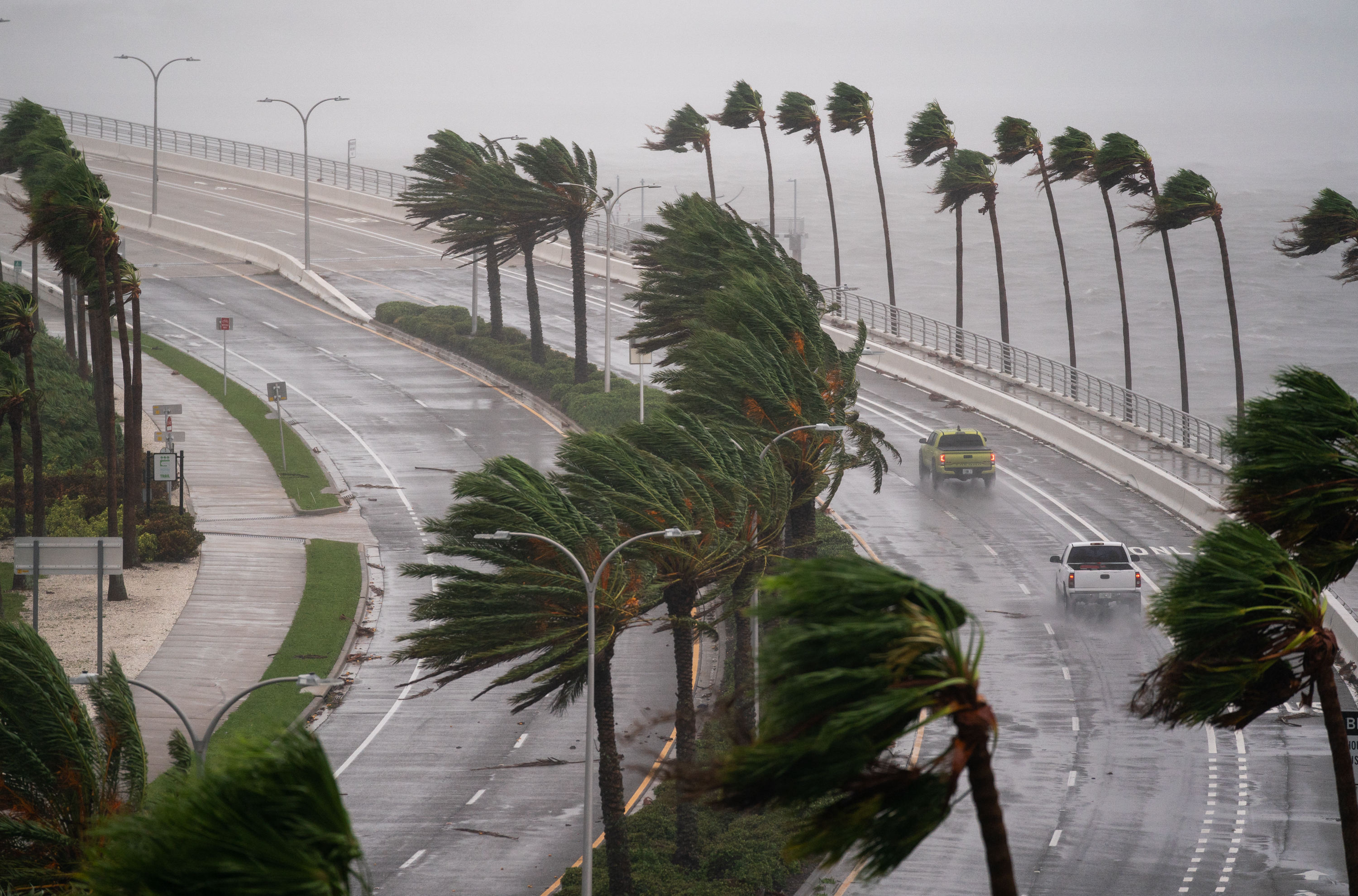
Hurricane Helene is making waves as it strengthens off the coast of Florida. Meteorologists are urging residents, especially in Tampa, to stay vigilant due to potential shifts in the storm’s path.
After forming into a tropical storm on Tuesday, Helene is projected to hit Florida’s Big Bend region late Thursday. As of Wednesday morning, it boasts maximum sustained winds of 80 mph, putting it at a Category 1 hurricane status.
Experts are particularly cautious because the impact of a hurricane isn’t limited to its center. Lessons from Hurricane Ian, which devastated areas late September 2022, remind us that forecasts can change quickly. Initially, many models predicted Ian would strike Tampa but it ultimately veered east, leading to catastrophic results with a death toll exceeding 100.

Paul Dellegatto, chief meteorologist at FOX 13, highlighted that if Helene shifts even slightly east, it could significantly jeopardize Tampa’s western coastline. He noted on X (formerly Twitter) that while the hurricane’s core is expected to remain offshore, any alteration could lead to serious problems for the area.
Even if Helene stays offshore, Tampa will still face substantial effects due to the storm’s size, including storm surges, heavy rainfall, and strong winds.
According to meteorologist Pearce, while the storm’s center may avoid Tampa, the impact could be catastrophic if it were to make landfall along a populated coastal area. “Tampa has a lot of infrastructure, whereas the Big Bend, where it’s expected to land, is less populated,” she explained.
Forecasts indicate Helene may reach Category 3 or even Category 4 status at landfall, with wind speeds ranging from 130 to 156 mph. A Category 5 hurricane is also a possibility.
In preparation, several counties in Florida have mandated evacuations, focusing on healthcare facilities, RV parks, and manufactured home communities. Some, like Wakulla County, have instituted countywide evacuations.
