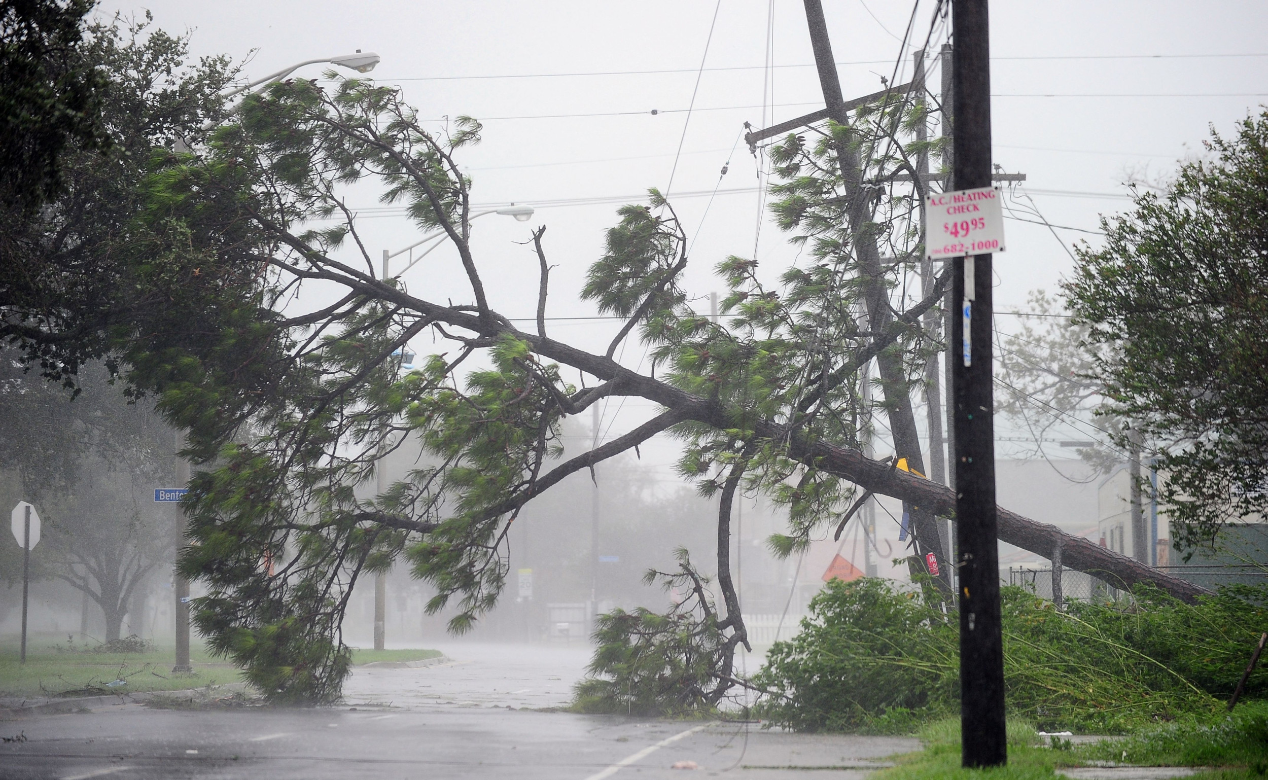
The National Hurricane Center (NHC) has issued an urgent advisory for residents in Louisiana and Mississippi as they brace for Tropical Storm Francine, set to make landfall on Wednesday.
Tropical Storm Francine emerged as the sixth named storm of this year’s Atlantic hurricane season, surfacing after a quiet spell following Hurricane Ernesto, which fortunately did not make landfall in the U.S. However, Ernesto did raise concerns about dangerous rip currents along the East Coast. Experts predict a particularly active hurricane season due to the El Niño phenomenon and unusually warm sea temperatures.
As of Tuesday afternoon, Francine’s maximum sustained winds were clocked at 65 miles per hour, with forecasts suggesting it will strengthen into a hurricane prior to hitting the Louisiana coast.
The NHC is advising those in the storm’s path to expedite their preparations before nightfall on Tuesday. A recent update on social media highlighted the seriousness of the situation: “4pm CDT Tuesday Tropical Storm #Francine Key Messages: Life-threatening #hurricane force winds and storm surge expected for portions of southern Louisiana Wednesday and Wednesday night. Make sure preparations to protect life & property are completed by tonight. A tropical storm warning and storm surge warning is also in effect for portions of southern #Mississippi.”

Getty
A tropical storm warning is extended to parts of Texas, Alabama, and Florida. Previous NHC messages indicated that Francine is likely to enhance in strength by Tuesday night.
Alongside hazardous winds and surges, multiple states should prepare for heavy rains, flooding, perilous rip currents, and potential tornadoes, as stated by meteorologist Jonathan Howell from the National Weather Service.
Southern Louisiana is at the highest risk for heavy rainfall, with estimates of 8 to 12 inches, while parts of Mississippi may see up to 8 inches of rain.
Additionally, the NHC is keeping an eye on two other disturbances in the Atlantic. One disturbance in the central tropical Atlantic has a 30% chance of developing into a cyclone within the next two days, and the second, further east, has a 40% chance of forming in the same timeframe.
