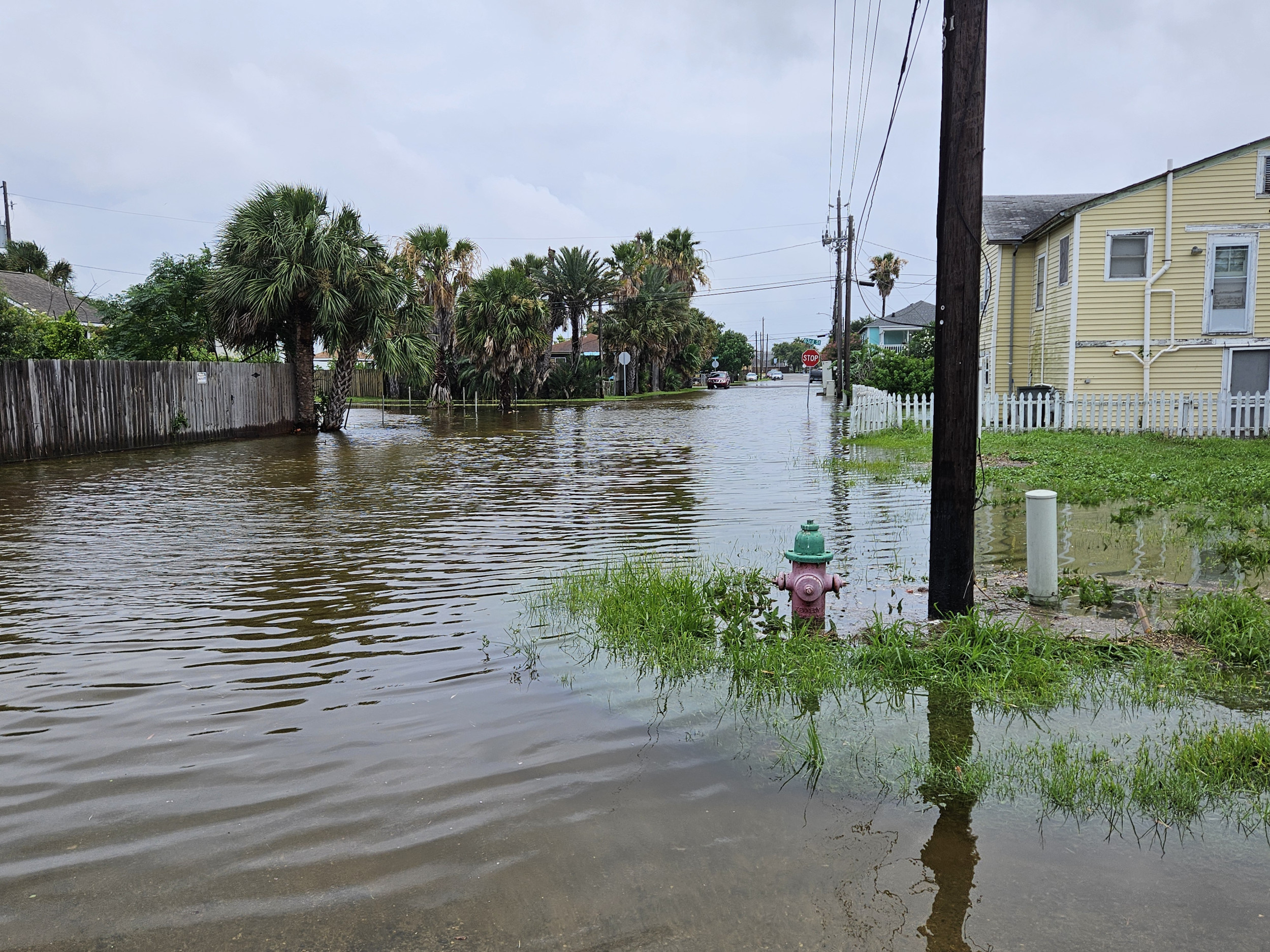
This week, Texas and Louisiana have been hit hard by heavy rainfall, with even more wet weather on the way for the Gulf Coast, according to the National Weather Service (NWS) Weather Prediction Center.
Some areas in Texas have already seen up to 9 inches of rain, and forecasts indicate an additional 7 inches could fall by this Sunday. While the most substantial rain totals are expected offshore, Texas is feeling the impact, with flooding causing cars to get submerged and homes surrounded by water.

According to meteorologist Bann, these moisture-rich storms are linked to a “disturbed weather area” in the atmosphere. On Tuesday, flash flood warnings were issued throughout Central Texas as these storms take their time moving, which only amplifies the rainfall.
“Any storms that develop will be quite effective at converting atmospheric moisture into rainfall,” Bann noted. This time of year is often marked by these kinds of storms, with Galveston setting a new daily rainfall record on Monday by nearly an inch.
NWS offices across Texas have alerted residents to “life-threatening” flash floods, urging drivers to avoid flooded roads. In San Angelo, a flood watch has been extended through early Wednesday.
The weather map shows that most of Texas can expect at least another half-inch of rain by the week’s end, while coastal cities might face up to 7 more inches. Southern Louisiana is under a similar forecast.
Additionally, gulf waters might receive up to 15 inches of rain in the coming days. Meanwhile, the rest of the U.S. could see some light rain, with the southern states expecting the highest totals, while the West Coast will likely remain dry amid soaring temperatures.

